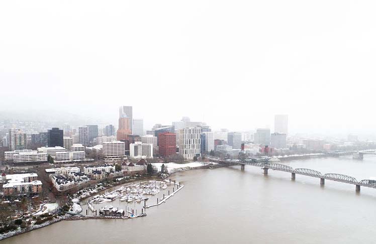
Portland has a chance to pick up closer to 0.50 with showery-type precipitation. However, totals will vary. At this point, it appears snow levels could rise to 6,000′ for the middle of next week. Those living in higher elevations could see up to two to three inches of snow, and potentially one to two inches along the I-5 corridor in interior southwest Washington. At the valley floor, some could see a trace to one inch of accumulation.
Multnomah County officials announced Friday they will reopen three warming shelters in Portland and one in Troutdale. The change comes just a day after county health officials decided to close its warming centers, citing rising temperatures. It had opened seven such centers on Christmas Day and operated them day- and night-round until 2 p.m. Thursday. The four shelters that will reopen at 7 p.m. on New Year’s Eve are: the Oregon Convention Center in inner Northeast Portland; the East Portland Community Center near Southeast Stark Street and 103rd Drive; Mt. Scott Community Center on Southeast 72nd Avenue near Foster Road; and Reynolds High School on Southwest Cherry Park Road in Troutdale
Tonight through Saturday morning we’ll experience the last gasp of sub-freezing temperatures. Mid to upper 20’s possible under clear skies for Portland metro with a few outliers nearing 20°. You’ll catch some sunshine but daytime highs only reach the mid to upper 30’s.


